Visitors 230
Modified 21-Dec-23
Created 23-Jun-17
73 photos
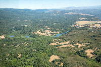
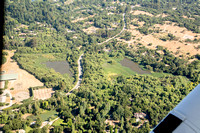
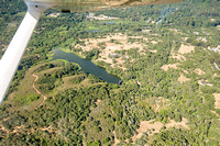
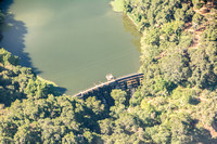
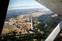
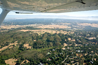
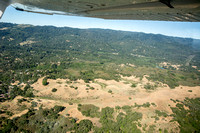
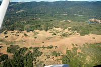
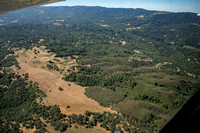
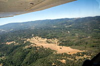
Stanford's Jasper Ridge Biological Preserve is a jewel of the Peninsula. Close to Highway 280, residential areas, and commerce, it is returning to a rhythm determined by natural, not manmade processes. From the air, we can see how small it is. Yet it encompasses many of the ecosystems that make up California.
I have spent many hours walking the trails there, and a little time off-trail looking for ants. It is revealing to see this all from a new perspective. So tiny, so closely packed!
I do hope these images contribute to the scientific and historical perspective on Jasper Ridge as well.
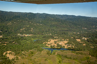
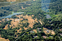
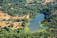
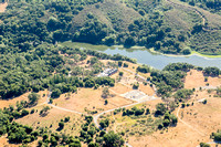
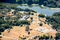
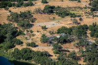
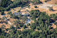
From Jasper Ridge, we flew over my home in Portola Valley Ranch. The green of the Frog Pond contrasts with the dun of the unwatered soccer field next to Corte Madera School. Lawns are really not natural, around here. Notice how the bright green of the Stanford Golf Course contrasts with the native vegetation -- indeed, with everywhere else hereabouts.
Flying over Windy Hill, we visited the coast. (See an adjacent collection.) Then back across Windy Hill, past Jasper Ridge, SLAC, Stanford, and Palo Alto once again, and landing at the Palo Alto Airport.
These images are sorted by subject matter, not in sequence as we flew back and forth, taking several passes of some destinations.
Category:Travel and Places
Subcategory:North America
Subcategory Detail:United States of America
Keywords: