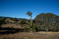
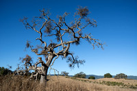
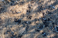
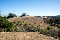
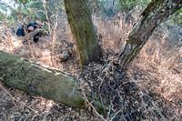
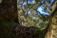
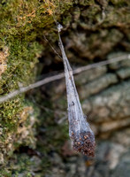
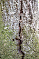
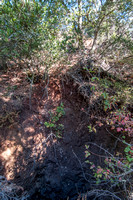
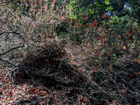
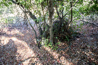
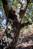
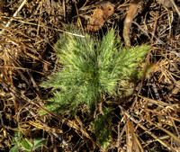
The Hermit's Survey Route (HM) consists of 11 points. Eight are near the southern border of Jasper Ridge -- and the area along the border beyond them is terra incognita, not surveyed at all. The region abounds in dense chaparral. When you do fight your way to a survey point, it is sometimes covered in poison oak. But there are nice bits as well, including many nests of dusky-footed woodrats (far from water), evidence of woodpeckers and coyote, open grassland, and views of Jasper Ridge from a different perspective.
After the survey, I stopped by the exit road to watch some acorn woodpeckers do their stuff. The car made a nice blind.
Here is a memo I wrote offering suggestions on the order of points to survey next year, if you are given HM:
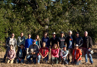
Suggestions for the Hermit’s Route HM Jasper Ridge Ant Survey Yuhe and I surveyed the Hermit’s Route (HM) in the fall 2017 ant survey. Here are some retrospective hints on the best order to tackle this challenging route.
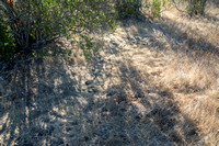
You will find plenty of poison oak. Best to wear long pants and probably a long-sleeved shirt. Be prepared to shower when you get home. More interesting: there are many nests of dusky-footed woodrats in these tree-covered hills -- belying the rumor that they like to nest near water.
The major constraints are:
- HM405 is mostly surrounded by dense chaparral and is extremely challenging to reach. We found a good way is from the north, from HM445.
- The survey points near the JR border are mostly in shade. (and chaparral, and poison oak) It makes sense to tackle the other three first while it is still cool in the morning – some of these are in more open land.
Based on these considerations, here is my suggestion for a route:
- Enter at Goya Gate. Leave your button near the gate.
- Walk to Road F, then left (west) past the crest of the rise. Survey the three more isolated points in this order: HM529; 528; 527.
- Survey the remaining points in this order: HM 486; west to HM485; south to HM445…
- From HM445, continue south, veering a little right (west) to stay in the grassland in the draw and avoid the trees and chaparral at the top of the ridge. I think this is the best way to approach that difficult site, HM 405.
- Return north up the grassy draw. Loop aroud HM445 and make your way to HM446.
- Now continue south, perhaps a little to the left (east) of a straight line to HM406.
- Again, go a little east, then south – until you hit the road. Turn right (west). Proceed until a fallen tree blocks the road. Make your way down the hill, continue west, find HM366.
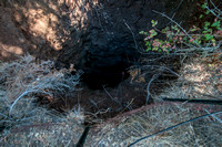
- Only one more: HM365. There is a little trail leading west toward it. Good luck. Watch out for the Hermit’s prospecting/mining pit.
- Find your way back to Goya Gate. We did not go this way. Look at the satellite view. One option is to return to Road F. But you might find a path through mostly grasslands, more directly to Goya Gate. Better to go around than try to bull your way through the chaparral.